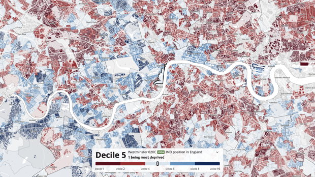
Visualising spatial data to support decision-making

In DLUHC, we are applying innovative techniques with open, publicly accessible data sources to support place-based decision-making. In this post, Elliott Phillips, a Software Engineer, talks about the development of a new tool that allows internal users to browse and visualise data at national and neighbourhood levels across the UK.


